


Distance from Altenstadt to Herenthout
The shortest distance (air line) between Altenstadt and Herenthout is 192.26 mi (309.41 km).
The shortest route between Altenstadt and Herenthout is 239.73 mi (385.81 km) according to the route planner. The driving time is approx. 3 h 58 m.
How far is Altenstadt from Herenthout
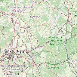
Altenstadt is located in Wetteraukreis, Germany within 50° 17' 8.16" N 8° 56' 42" E (50.2856, 8.9450) coordinates. The local time in Altenstadt is 04:19 (13.04.2025)
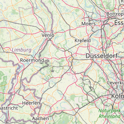
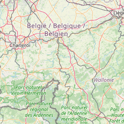
Herenthout is located in Arr. Turnhout, Belgium within 51° 8' 60" N 4° 46' 0.12" E (51.1500, 4.7667) coordinates. The local time in Herenthout is 04:19 (13.04.2025)
The calculated flying distance from Herenthout to Herenthout is 192.26 miles which is equal to 309.41 km.
If you want to go by car, the driving driving distance between Altenstadt and Herenthout is 239.73 miles (385.81 km). If you ride your car with an average speed of 112 km/h (70 miles/h), travel time will be 3 hours 27 minutes. Please check the avg. speed travel time on the right for various options.
Estimated Travel Time Between Altenstadt and Herenthout
| Average speed | Travel Time |
|---|---|
| 30 mph (48 km/h) | 7 hours 59 minutes |
| 40 mph (64 km/h) | 5 hours 60 minutes |
| 50 mph (80 km/h) | 4 hours 48 minutes |
| 60 mph (67 km/h) | 3 hours 60 minutes |
| 70 mph (112 km/h) | 3 hours 25 minutes |
| 75 mph (120 km/h) | 3 hours 12 minutes |
Altenstadt, Wetteraukreis, Germany
Related Distances from Altenstadt
Herenthout, Arr. Turnhout, Belgium