
Distance from Blerick to Mouscron
The shortest distance (air line) between Blerick and Mouscron is 134.70 mi (216.78 km).
The shortest route between Blerick and Mouscron is 152.02 mi (244.64 km) according to the route planner. The driving time is approx. 2 h 52 m.
How far is Blerick from Mouscron
Blerick is located in Noord-Limburg, Netherlands within 51° 22' 0.12" N 6° 9' 0" E (51.3667, 6.1500) coordinates. The local time in Blerick is 23:23 (28.02.2025)
Mouscron is located in Arr. Tournai-Mouscron, Belgium within 50° 43' 59.88" N 3° 13' 0.12" E (50.7333, 3.2167) coordinates. The local time in Mouscron is 23:23 (28.02.2025)
The calculated flying distance from Mouscron to Mouscron is 134.70 miles which is equal to 216.78 km.
If you want to go by car, the driving driving distance between Blerick and Mouscron is 152.02 miles (244.64 km). If you ride your car with an average speed of 112 km/h (70 miles/h), travel time will be 2 hours 11 minutes. Please check the avg. speed travel time on the right for various options.
Estimated Travel Time Between Blerick and Mouscron
| Average speed | Travel Time |
|---|---|
| 30 mph (48 km/h) | 5 hours 4 minutes |
| 40 mph (64 km/h) | 3 hours 48 minutes |
| 50 mph (80 km/h) | 3 hours 2 minutes |
| 60 mph (67 km/h) | 2 hours 32 minutes |
| 70 mph (112 km/h) | 2 hours 10 minutes |
| 75 mph (120 km/h) | 2 hours 2 minutes |
Blerick, Noord-Limburg, Netherlands
Related Distances from Blerick
| Cities | Distance |
|---|---|
| Blerick to Eindhoven | 29.10 mi (46.84 km) |
| Blerick to Nijmegen | 35.44 mi (57.03 km) |
| Blerick to Maastricht | 41.04 mi (66.05 km) |
| Blerick to s-Hertogenbosch | 42.59 mi (68.54 km) |
| Blerick to Arnhem | 43.76 mi (70.42 km) |
| Blerick to Tilburg | 47.64 mi (76.66 km) |
| Blerick to Apeldoorn | 59.25 mi (95.35 km) |
| Blerick to Breda | 61.09 mi (98.32 km) |
| Blerick to Amersfoort | 63.28 mi (101.84 km) |
| Blerick to Utrecht | 66.39 mi (106.84 km) |
| Blerick to Enschede | 66.91 mi (107.67 km) |
| Blerick to Dordrecht | 69.80 mi (112.32 km) |
| Blerick to Zwolle | 79.49 mi (127.92 km) |
| Blerick to Almere | 79.74 mi (128.34 km) |
| Blerick to Rotterdam | 80.31 mi (129.24 km) |
| Blerick to Alphen aan den Rijn | 82.65 mi (133.01 km) |
| Blerick to Zoetermeer | 85.60 mi (137.76 km) |
| Blerick to Amsterdam | 87.78 mi (141.26 km) |
| Blerick to Leiden | 89.68 mi (144.33 km) |
| Blerick to Hoofddorp | 89.97 mi (144.79 km) |
| Blerick to The Hague | 92.90 mi (149.51 km) |
| Blerick to Haarlem | 95.49 mi (153.68 km) |
| Blerick to Zaanstad | 96.08 mi (154.63 km) |
| Blerick to Leeuwarden | 127.61 mi (205.37 km) |
| Blerick to Groningen | 129.03 mi (207.65 km) |
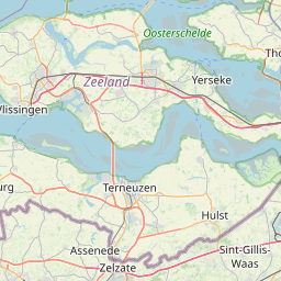
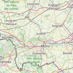
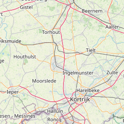
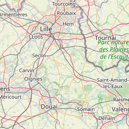
Mouscron, Arr. Tournai-Mouscron, Belgium
Related Distances to Mouscron
| Cities | Distance |
|---|---|
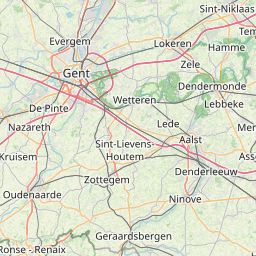
| Gent to Mouscron | 31.32 mi (50.41 km) |
| Bruges to Mouscron | 32.86 mi (52.89 km) |
| Forest to Mouscron | 48.73 mi (78.42 km) |
| Anderlecht to Mouscron | 49.26 mi (79.28 km) |
| Jette to Mouscron | 49.62 mi (79.86 km) |
| Koekelberg to Mouscron | 49.62 mi (79.86 km) |
| Moortebeek to Mouscron | 49.71 mi (80.00 km) |
| Brussels to Mouscron | 50.22 mi (80.83 km) |
| Laeken to Mouscron | 50.73 mi (81.64 km) |
| Etterbeek to Mouscron | 51.43 mi (82.77 km) |
| Sint-Joost-ten-Node to Mouscron | 51.59 mi (83.02 km) |
| Evere to Mouscron | 52.49 mi (84.47 km) |
| Vilvoorde to Mouscron | 54.40 mi (87.55 km) |
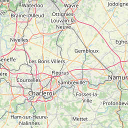
| Charleroi to Mouscron | 58.15 mi (93.58 km) |
| Hoboken to Mouscron | 58.33 mi (93.87 km) |
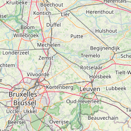
| Mechelen to Mouscron | 58.73 mi (94.52 km) |
| Wilrijk to Mouscron | 58.95 mi (94.87 km) |
| Berchem to Mouscron | 60.78 mi (97.81 km) |
| Antwerp to Mouscron | 61.42 mi (98.84 km) |
| Borgerhout to Mouscron | 62.68 mi (100.87 km) |
| Merksem to Mouscron | 63.85 mi (102.75 km) |
| Deurne to Mouscron | 63.95 mi (102.92 km) |
| Leuven to Mouscron | 65.59 mi (105.55 km) |
| Namur to Mouscron | 74.67 mi (120.17 km) |
| Liege to Mouscron | 103.24 mi (166.15 km) |