
Distance from East Ham to Escaudain
The shortest distance (air line) between East Ham and Escaudain is 165.33 mi (266.07 km).
The shortest route between East Ham and Escaudain is 195.13 mi (314.03 km) according to the route planner. The driving time is approx. 3 h 41 m.
How far is East Ham from Escaudain
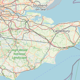
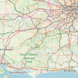
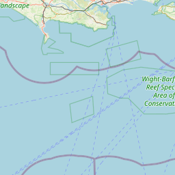
East Ham is located in Hackney and Newham, United Kingdom within 51° 31' 56.28" N 0° 3' 19.44" E (51.5323, 0.0554) coordinates. The local time in East Ham is 22:49 (27.02.2025)
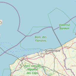
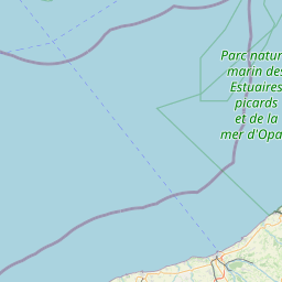
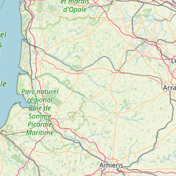
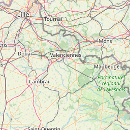
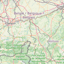
Escaudain is located in Nord, France within 50° 20' 3.84" N 3° 20' 34.08" E (50.3344, 3.3428) coordinates. The local time in Escaudain is 23:49 (27.02.2025)
The calculated flying distance from Escaudain to Escaudain is 165.33 miles which is equal to 266.07 km.
If you want to go by car, the driving driving distance between East Ham and Escaudain is 195.13 miles (314.03 km). If you ride your car with an average speed of 112 km/h (70 miles/h), travel time will be 2 hours 48 minutes. Please check the avg. speed travel time on the right for various options.
Estimated Travel Time Between East Ham and Escaudain
| Average speed | Travel Time |
|---|---|
| 30 mph (48 km/h) | 6 hours 30 minutes |
| 40 mph (64 km/h) | 4 hours 53 minutes |
| 50 mph (80 km/h) | 3 hours 54 minutes |
| 60 mph (67 km/h) | 3 hours 15 minutes |
| 70 mph (112 km/h) | 2 hours 47 minutes |
| 75 mph (120 km/h) | 2 hours 36 minutes |
East Ham, Hackney and Newham, United Kingdom
Related Distances from East Ham
| Cities | Distance |
|---|---|
| East Ham to London | 8.05 mi (12.96 km) |
| East Ham to Reading | 44.57 mi (71.73 km) |
| East Ham to Worthing | 52.92 mi (85.16 km) |
| East Ham to Ipswich | 59.47 mi (95.71 km) |
| East Ham to Portsmouth | 70.50 mi (113.45 km) |
| East Ham to Southampton | 76.70 mi (123.44 km) |
| East Ham to Coventry | 90.02 mi (144.88 km) |
| East Ham to Leicester | 91.32 mi (146.96 km) |
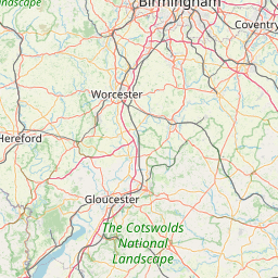
| East Ham to Birmingham | 105.93 mi (170.47 km) |
| East Ham to Nottingham | 110.63 mi (178.05 km) |
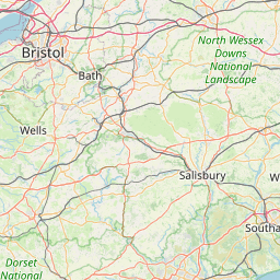
| East Ham to Bristol | 114.25 mi (183.86 km) |
| East Ham to Stoke-on-Trent | 138.71 mi (223.24 km) |
| East Ham to Caerdydd | 139.14 mi (223.92 km) |
| East Ham to Sheffield | 142.95 mi (230.06 km) |
| East Ham to Kingston upon Hull | 153.70 mi (247.36 km) |
| East Ham to Stockport | 159.40 mi (256.53 km) |
| East Ham to Manchester | 165.69 mi (266.66 km) |
| East Ham to Leeds | 170.52 mi (274.42 km) |
| East Ham to Bradford | 173.98 mi (279.99 km) |
| East Ham to Bolton | 175.68 mi (282.72 km) |
| East Ham to Liverpool | 182.28 mi (293.35 km) |
| East Ham to Newcastle | 247.94 mi (399.02 km) |
| East Ham to Belfast | 326.27 mi (525.07 km) |
| East Ham to Edinburgh | 332.90 mi (535.76 km) |
| East Ham to Glasgow | 346.94 mi (558.35 km) |
Related Distances to Escaudain
| Cities | Distance |
|---|---|
| Lille to Escaudain | 23.82 mi (38.34 km) |
| Reims to Escaudain | 80.21 mi (129.09 km) |
| Paris to Escaudain | 111.32 mi (179.15 km) |
| Boulogne-Billancourt to Escaudain | 114.74 mi (184.66 km) |
| Le Havre to Escaudain | 155.62 mi (250.44 km) |
| Le Mans to Escaudain | 214.48 mi (345.18 km) |
| Dijon to Escaudain | 221.96 mi (357.20 km) |
| Strasbourg to Escaudain | 231.76 mi (372.98 km) |
| Angers to Escaudain | 265.25 mi (426.87 km) |
| Rennes to Escaudain | 273.55 mi (440.23 km) |
| Nantes to Escaudain | 309.79 mi (498.56 km) |
| Clermont-Ferrand to Escaudain | 314.69 mi (506.45 km) |
| Villeurbanne to Escaudain | 323.47 mi (520.57 km) |
| Lyon to Escaudain | 323.52 mi (520.65 km) |
| Saint-Etienne to Escaudain | 341.99 mi (550.38 km) |
| Grenoble to Escaudain | 373.40 mi (600.94 km) |
| Brest to Escaudain | 376.97 mi (606.68 km) |
| Bordeaux to Escaudain | 421.20 mi (677.86 km) |
| Nimes to Escaudain | 451.39 mi (726.45 km) |
| Montpellier to Escaudain | 465.16 mi (748.60 km) |
| Toulouse to Escaudain | 473.49 mi (762.00 km) |
| Aix-en-Provence to Escaudain | 480.69 mi (773.59 km) |
| Nice to Escaudain | 493.85 mi (794.78 km) |
| Marseille to Escaudain | 495.58 mi (797.57 km) |
| Toulon to Escaudain | 512.84 mi (825.33 km) |