Jim Wright Freeway, I 20

318.6 km, 3 h 39 min

Head west15 m
Turn right onto South 1st Street (TX 78)80 m
Turn left onto West Avenue B (TX 78)2.5 km
Continue onto Forest Lane4.5 km
Keep left onto Skillman Street1.5 km
Take the ramp on the right towards I 635 West1 km
Keep left towards I 635 West200 m
Merge left onto Lyndon B Johnson Freeway (I 635)2 km
Continue onto Lyndon B. Johnson Freeway (I 635)7 km
Continue onto Lyndon B Johnson Freeway (I 635)2.5 km
Take the ramp towards I 635 TEXpress West700 m
Merge left onto I 635 TEXpress5.5 km
Merge right onto Lyndon B Johnson Freeway (I 635)2.5 km
Take exit 30 towards PGBT Toll South: President George Bush Turnpike500 m
Keep left towards PGBT South: President George Bush Turnpike South1 km
Merge left onto President George Bush Turnpike (PGBT)10 km
Take the ramp towards TX 183 West: Fort Worth1 km
Merge left onto Airport Freeway (TX 183)15 km
Take the ramp towards I 820 West1 km
Merge left onto Northeast Loop2.5 km
Take the ramp on the left towards I 820 Express West550 m
Merge left onto I 820 TEXpress7 km
Merge right onto Northeast Loop (I 820)550 m
Continue onto Jim Wright Freeway (I 820)20 km
Take exit 3A towards I 30 West: Weatherford600 m
Merge left onto West Freeway (I 30)10 km
Merge right onto I 20200 km
Take exit 292A on the left towards I 20 Business: Abilene900 m
Go straight onto East Highway 80 (I 20 Bus)7 km
Continue onto North 1st Street1 km
Turn right onto Beech Street450 m
Turn right onto North 5th Street60 m
Turn left30 m
You have arrived at your destination, on the left0 m
From
    To

      Distance: 183.46 mi (295.25 km)

      Driving route: 197.98 mi (318.62 km)

      Driving time: 3h 39 minutes

      Distance from Garland to Abilene

      The shortest distance (air line) between Garland and Abilene is 183.46 mi (295.25 km).

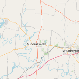
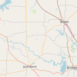
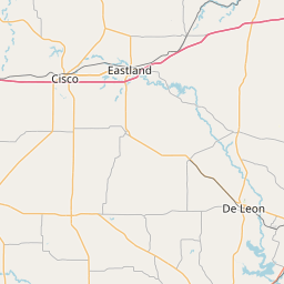
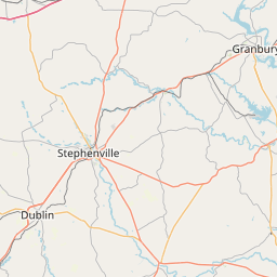
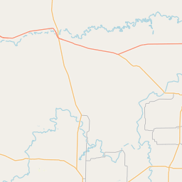
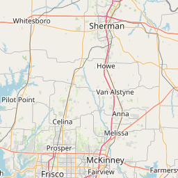
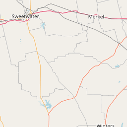
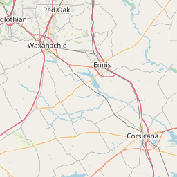
      The shortest route between Garland and Abilene is 197.98 mi (318.62 km) according to the route planner. The driving time is approx. 3 h 39 m.

      How far is Garland from Abilene

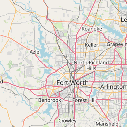
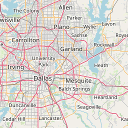
      Garland is located in Texas, United States within 32° 54' 36" N -97° 22' 10.56" W (32.9100, -96.6304) coordinates. The local time in Garland is 15:23 (18.03.2025)

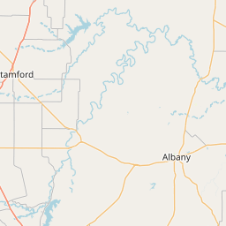
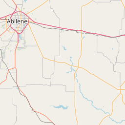
      Abilene is located in Texas, United States within 32° 27' 15.48" N -100° 15' 41.76" W (32.4543, -99.7384) coordinates. The local time in Abilene is 15:23 (18.03.2025)

      The calculated flying distance from Abilene to Abilene is 183.46 miles which is equal to 295.25 km.

      If you want to go by car, the driving driving distance between Garland and Abilene is 197.98 miles (318.62 km). If you ride your car with an average speed of 112 km/h (70 miles/h), travel time will be 2 hours 51 minutes. Please check the avg. speed travel time on the right for various options.

      Estimated Travel Time Between Garland and Abilene

      Average speedTravel Time
      30 mph (48 km/h)6 hours 36 minutes
      40 mph (64 km/h)4 hours 57 minutes
      50 mph (80 km/h)3 hours 58 minutes
      60 mph (67 km/h)3 hours 18 minutes
      70 mph (112 km/h)2 hours 50 minutes
      75 mph (120 km/h)2 hours 38 minutes

      Garland, Texas, United States

      Related Distances from Garland

      CitiesDistance
      Garland to Denver (Colorado)658.76 mi (1,060.17 km)
      Garland to Atlanta (Georgia)706.77 mi (1,137.43 km)
      Garland to Chicago (Illinois)787.48 mi (1,267.32 km)
      Garland to Minneapolis (Minnesota)851.99 mi (1,371.14 km)
      Garland to Phoenix (Arizona)893.67 mi (1,438.22 km)
      Garland to Tampa (Florida)909.63 mi (1,463.90 km)
      Garland to Detroit (Michigan)985.76 mi (1,586.43 km)
      Garland to Las Vegas (Nevada)1,082.94 mi (1,742.82 km)
      Garland to Miami (Florida)1,102.87 mi (1,774.90 km)
      Garland to Washington (District of Columbia)1,170.27 mi (1,883.36 km)
      Garland to San Diego (California)1,187.30 mi (1,910.77 km)
      Garland to Riverside (California)1,197.48 mi (1,927.16 km)
      Garland to Baltimore (Maryland)1,198.26 mi (1,928.42 km)
      Garland to Dallas (Texas)11.29 mi (18.16 km)
      Garland to Los Angeles (California)1,254.88 mi (2,019.53 km)
      Garland to Philadelphia (Pennsylvania)1,287.14 mi (2,071.45 km)
      Garland to Brooklyn (New York)1,359.24 mi (2,187.48 km)
      Garland to New York (New York)1,361.32 mi (2,190.84 km)
      Garland to Queens (New York)1,368.79 mi (2,202.85 km)
      Garland to San Francisco (California)1,487.97 mi (2,394.66 km)
      Garland to Boston (Massachusetts)1,533.92 mi (2,468.61 km)
      Garland to Portland (Oregon)1,632.09 mi (2,626.60 km)
      Garland to Seattle (Washington)1,680.28 mi (2,704.14 km)
      Garland to Houston (Texas)227.94 mi (366.84 km)
      Garland to St. Louis (Missouri)533.22 mi (858.14 km)

      Abilene, Texas, United States

      Related Distances to Abilene

      CitiesDistance
      St. Louis (Missouri) to Abilene682.89 mi (1,099.00 km)
      Phoenix (Arizona) to Abilene719.30 mi (1,157.60 km)
      Atlanta (Georgia) to Abilene890.21 mi (1,432.65 km)
      Las Vegas (Nevada) to Abilene922.27 mi (1,484.24 km)
      Chicago (Illinois) to Abilene926.06 mi (1,490.35 km)
      Minneapolis (Minnesota) to Abilene931.27 mi (1,498.73 km)
      San Diego (California) to Abilene1,010.59 mi (1,626.38 km)
      Riverside (California) to Abilene1,024.71 mi (1,649.11 km)
      Tampa (Florida) to Abilene1,075.99 mi (1,731.63 km)
      Los Angeles (California) to Abilene1,082.83 mi (1,742.64 km)
      Detroit (Michigan) to Abilene1,138.46 mi (1,832.18 km)
      Miami (Florida) to Abilene1,263.16 mi (2,032.87 km)
      San Francisco (California) to Abilene1,330.94 mi (2,141.94 km)
      Washington (District of Columbia) to Abilene1,346.55 mi (2,167.07 km)
      Baltimore (Maryland) to Abilene1,373.64 mi (2,210.66 km)
      Philadelphia (Pennsylvania) to Abilene1,461.33 mi (2,351.79 km)
      Portland (Oregon) to Abilene1,517.62 mi (2,442.37 km)
      Brooklyn (New York) to Abilene1,532.26 mi (2,465.93 km)
      New York (New York) to Abilene1,534.23 mi (2,469.10 km)
      Queens (New York) to Abilene1,541.61 mi (2,480.98 km)
      Seattle (Washington) to Abilene1,578.56 mi (2,540.44 km)
      Boston (Massachusetts) to Abilene1,703.76 mi (2,741.94 km)
      Dallas (Texas) to Abilene174.50 mi (280.84 km)
      Houston (Texas) to Abilene316.48 mi (509.32 km)
      Denver (Colorado) to Abilene580.40 mi (934.07 km)