


Distance from Heddesheim to Chatenay-Malabry
The shortest distance (air line) between Heddesheim and Chatenay-Malabry is 290.38 mi (467.32 km).
The shortest route between Heddesheim and Chatenay-Malabry is 334.77 mi (538.77 km) according to the route planner. The driving time is approx. 5 h 27 m.
How far is Heddesheim from Chatenay-Malabry
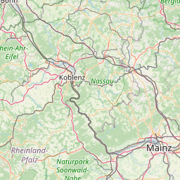
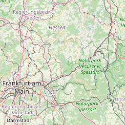
Heddesheim is located in Rhein-Neckar-Kreis, Germany within 49° 30' 19.08" N 8° 36' 11.88" E (49.5053, 8.6033) coordinates. The local time in Heddesheim is 00:04 (09.10.2025)
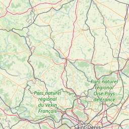
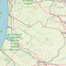
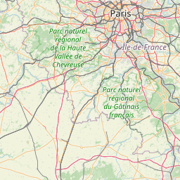
Chatenay-Malabry is located in Hauts-de-Seine, France within 48° 45' 55.08" N 2° 16' 41.16" E (48.7653, 2.2781) coordinates. The local time in Chatenay-Malabry is 00:04 (09.10.2025)
The calculated flying distance from Chatenay-Malabry to Chatenay-Malabry is 290.38 miles which is equal to 467.32 km.
If you want to go by car, the driving driving distance between Heddesheim and Chatenay-Malabry is 334.77 miles (538.77 km). If you ride your car with an average speed of 112 km/h (70 miles/h), travel time will be 4 hours 49 minutes. Please check the avg. speed travel time on the right for various options.
Estimated Travel Time Between Heddesheim and Chatenay-Malabry
| Average speed | Travel Time |
|---|---|
| 30 mph (48 km/h) | 11 hours 10 minutes |
| 40 mph (64 km/h) | 8 hours 22 minutes |
| 50 mph (80 km/h) | 6 hours 42 minutes |
| 60 mph (67 km/h) | 5 hours 35 minutes |
| 70 mph (112 km/h) | 4 hours 47 minutes |
| 75 mph (120 km/h) | 4 hours 28 minutes |
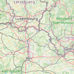
Heddesheim, Rhein-Neckar-Kreis, Germany
Related Distances from Heddesheim
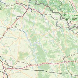
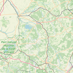
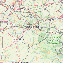
Chatenay-Malabry, Hauts-de-Seine, France