| Head south | 45 m |
| Turn right onto Estrada do Cabo da Roca | 200 m |
| Turn right onto Estrada do Cabo da Roca | 3 km |
| Turn right onto EN 247 | 5 km |
| Turn left onto Avenida de Nossa Senhora da Assunção (EN 247-5) | 200 m |
| Continue slightly right onto Rua de Cascais (EN 9-1) | 1 km |
| Continue onto Estrada da Malveira da Serra (EN 9-1) | 1.5 km |
| Enter the traffic circle and take the 2nd exit onto Estrada da Malveira da Serra (EN 9-1) | 20 m |
| Exit the traffic circle onto Estrada da Malveira da Serra (EN 9-1) | 550 m |
| Enter Estrada da Malveira da Serra and take the 2nd exit onto Estrada da Malveira da Serra (EN 9-1) | 30 m |
| Exit the traffic circle onto Estrada da Malveira da Serra (EN 9-1) | 450 m |
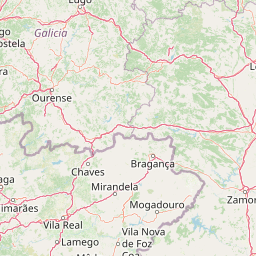
| Take the ramp on the right towards A 16: Lisboa | 25 km |
| Take the ramp towards Praça de Espanha | 600 m |
| Keep right towards A 2: Sul | 400 m |
| Merge left onto Autoestrada do Sul (A 2) | 25 km |
| Keep left onto Autoestrada do Sul (A 2) | 35 km |
| Take the ramp towards A 6: Espanha | 800 m |
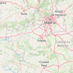
| Continue towards Espanha | 150 km |
| Keep right onto Autoestrada do Alentejo Central (A 6) | 45 m |
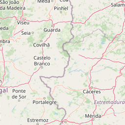
| Keep left onto Autoestrada do Alentejo Central (A 6) | 20 km |
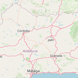
| Continue onto Autovía del Suroeste (A-5) | 350 km |
| Keep left onto Autovía del Suroeste (A-5) | 25 km |
| Keep left towards M-40: M-40 todas direcciones | 2.5 km |
| Merge left onto M-40 | 20 km |
| Take the ramp towards M-14: Zaragoza | 200 m |
| Keep left onto M-14 | 800 m |
| Take the ramp towards A-2: Zaragoza | 150 m |
| Continue onto Plaza de Eisenhower | 300 m |
| Keep right towards E-90 A-2 Zaragoza | 350 m |
| Keep left towards Vía de servicio | 250 m |
| Merge left onto Autovía del Nordeste (A-2) | 25 km |
| Continue onto A-2 | 2 km |
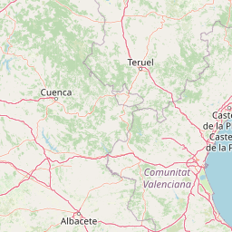
| Continue onto Autovía del Nordeste (A-2) | 100 km |
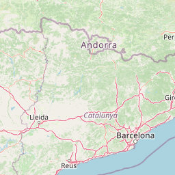
| Keep left towards A-2: Calatayud | 200 km |
| Continue onto Autopista Zaragoza-Mediterráneo (AP-2) | 100 km |
| Continue onto Autopista Zaragoza-Mediterrània (AP-2) | 100 km |
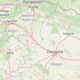
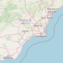
| Merge left onto Autopista de la Mediterrània (AP-7) | 50 km |
| Keep left towards A-2: Barcelona | 8 km |
| Keep right at the fork | 1.5 km |
| Merge right onto Autovia del Nord-est (A-2) | 6 km |
| Continue onto Ronda Litoral (B-10) | 7 km |
| Take the ramp towards Paral·lel | 600 m |
| Continue slightly right onto Passeig de Josep Carner | 300 m |
| Enter Plaça de les Drassanes and take the 1st exit onto Ronda del Port | 15 m |
| Exit the traffic circle onto Ronda del Port | 350 m |
| Make a slight left to stay on Ronda del Port | 35 m |
| Turn left | 150 m |
| Turn right | 30 m |
| Turn left onto Accés a Ferri | 40 m |
| Take the ferry Barcelona – Alcúdia | 200 km |
| Continue straight | 35 m |
| Turn right onto Moll del butà | 400 m |
| Enter the traffic circle and take the 2nd exit onto Ma-3460 | 60 m |
| Exit the traffic circle onto Ma-3460 | 1.5 km |
| Enter Rotonda de Can Fumat and take the 2nd exit onto Ma-3460 | 50 m |
| Exit the traffic circle onto Ma-3460 | 500 m |
| Enter Rotonda del cavall and take the 3rd exit onto Via de Corneli Àtic | 100 m |
| Exit the traffic circle onto Via de Corneli Àtic | 700 m |
| Enter the traffic circle and take the 2nd exit onto Carretera d'Artà (Ma-12) | 25 m |
| Exit the traffic circle onto Carretera d'Artà (Ma-12) | 1 km |
| Enter the traffic circle and take the 3rd exit onto Carretera d'Artà (Ma-12) | 20 m |
| Exit the traffic circle onto Carretera d'Artà (Ma-12) | 2 km |
| Enter the traffic circle and take the 3rd exit onto Ma-12 | 25 m |
| Exit the traffic circle onto Ma-12 | 200 m |
| Enter the traffic circle and take the 2nd exit onto Avinguda de s'Albufera (Ma-12) | 20 m |
| Exit the traffic circle onto Avinguda de s'Albufera (Ma-12) | 1 km |
| Enter the traffic circle and take the 3rd exit onto Avinguda de s'Albufera (Ma-12) | 50 m |
| Exit the traffic circle onto Avinguda de s'Albufera (Ma-12) | 550 m |
| Enter the traffic circle and take the 1st exit onto Ma-12 | 30 m |
| Exit the traffic circle onto Ma-12 | 800 m |
| Enter the traffic circle and take the 1st exit towards Can Picafort | 10 m |
| Exit the traffic circle towards Can Picafort | 3 km |
| Enter the traffic circle and take the 2nd exit towards Can Picafort | 45 m |
| Exit the traffic circle towards Can Picafort | 500 m |
| Enter the traffic circle and take the 3rd exit onto Carretera d'Artà (Ma-12) | 25 m |
| Exit the traffic circle onto Carretera d'Artà (Ma-12) | 350 m |
| Enter the traffic circle and take the 2nd exit onto Carretera d'Artà (Ma-12) | 30 m |
| Exit the traffic circle onto Carretera d'Artà (Ma-12) | 600 m |
| Enter the traffic circle and take the 2nd exit onto Carretera d'Artà (Ma-12) | 15 m |
| Exit the traffic circle onto Carretera d'Artà (Ma-12) | 500 m |
| Enter the traffic circle and take the 2nd exit towards Arta | 50 m |
| Exit the traffic circle towards Arta | 20 km |
| Enter the traffic circle and take the 1st exit onto Carrer Arxiduc Lluís Salvador (Ma-12) | 20 m |
| Exit the traffic circle onto Carrer Arxiduc Lluís Salvador (Ma-12) | 300 m |
| Enter the traffic circle and take the 1st exit onto Carretera de Palma a Manacor (Ma-15) | 15 m |
| Exit the traffic circle onto Carretera de Palma a Manacor (Ma-15) | 10 km |
| Enter the traffic circle and take the 1st exit onto Ma-15F | 50 m |
| Exit the traffic circle onto Ma-15F | 1 km |
| Make a sharp left onto carrer Basílica de Son Peretó | 60 m |
| Turn right onto carrer Ordinas | 70 m |
| Turn left onto Carrer des Pou | 50 m |
| Turn right onto carrer Gabriel Carrió | 100 m |
| Turn left onto carrer de la Caritat | 50 m |
| You have arrived at your destination | 0 m |