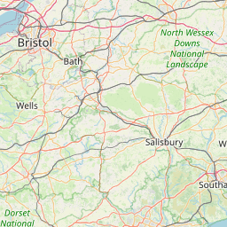
| Head east on High Street | 100 m |
| Continue onto Church Hill | 500 m |
| Continue onto Prospect Hill | 400 m |
| Turn left onto Shernhall Street | 300 m |
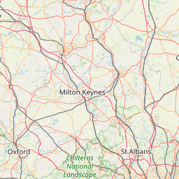
| Turn right onto Forest Road (A503) | 1.5 km |
| Go straight onto Woodford New Road (A104) | 100 m |
| Enter Waterworks Roundabout and take the 3rd exit onto North Circular Road (A406) | 250 m |
| Exit the traffic circle onto North Circular Road (A406) | 450 m |
| Merge right onto North Circular Road (A406) | 9 km |
| Take the ramp on the left onto North Circular Road (A406) | 300 m |
| Keep right onto A13 | 100 m |
| Merge right onto Alfred's Way (A13) | 2 km |
| Continue towards Tilbury | 450 m |
| Continue onto Ripple Road (A13) | 9 km |
| Take the ramp on the left towards Wennington | 400 m |
| Enter the traffic circle and take the 3rd exit onto London Road (A1306) | 70 m |
| Exit the traffic circle onto London Road (A1306) | 100 m |
| Enter the traffic circle and take the 1st exit onto London Road (A1306) | 35 m |
| Exit the traffic circle onto London Road (A1306) | 900 m |
| Continue onto Arterial Road Purfleet (A1306) | 800 m |
| Enter the traffic circle and take the 1st exit onto Arterial Road Purfleet (A1306) | 40 m |
| Exit the traffic circle onto Arterial Road Purfleet (A1306) | 1.5 km |
| Enter Purfleet Interchange and take the 4th exit | 400 m |
| Exit the traffic circle | 450 m |
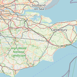
| Merge right onto Canterbury Way (A282) | 7 km |
| Take the ramp on the left towards A2: (M2) Canterbury | 1.5 km |
| Merge right onto Dartford Bypass (A2) | 3 km |
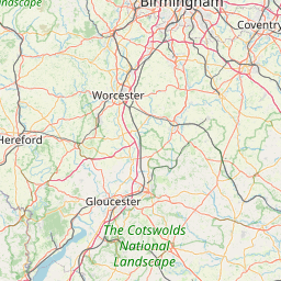
| Continue onto Watling Street (A2) | 10 km |
| Continue onto M2 | 9 km |
| Take the ramp on the left onto M2 | 600 m |
| Enter Taddington Roundabout and take the 3rd exit onto A229 | 250 m |
| Exit the traffic circle onto A229 | 350 m |
| Enter Lord Lees Roundabout and take the 1st exit | 5 m |
| Exit the traffic circle | 300 m |
| Continue onto A229 | 3 km |
| Take the ramp on the left | 500 m |
| Keep right at the fork | 100 m |
| Enter Cobtree Roundabout and take the 1st exit towards Ashford | 8 m |
| Exit the traffic circle towards Ashford | 50 km |
| Take the ramp on the left towards Channel Tunnel | 400 m |
| Keep right at the fork | 1.5 km |
| Go straight onto FlexiPlus | 250 m |
| Continue onto Boulevard d'Erlanger | 800 m |
| Keep right at the fork | 15 m |
| Keep right at the fork | 900 m |
| Continue onto Over Bridge 2 | 200 m |
| Turn left | 90 m |
| Make a slight right | 20 m |
| Take the ferry Le Shuttle | 60 km |
| Make a slight right | 150 m |
| Turn right | 1 km |
| Keep right towards Calais Centre | 1 km |
| Enter Giratoire du Chantier du Siècle and take the 1st exit onto Boulevard de l'Europe | 25 m |
| Exit the traffic circle onto Boulevard de l'Europe | 900 m |
| Enter Giratoire de l'Europe and take the 2nd exit towards A 16 | 100 m |
| Exit the traffic circle towards A 16 | 200 m |
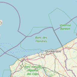
| Enter the traffic circle and take the 1st exit towards Dunkerque | 30 m |
| Exit the traffic circle towards Dunkerque | 400 m |
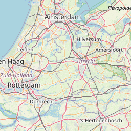
| Merge left onto L'Européenne (A 16) | 35 km |
| Take the ramp towards N 225: A 25 | 450 m |
| Merge left onto N 225 | 10 km |
| Continue onto A 25 | 60 km |
| Continue onto Autoroute du Nord (A 1) | 900 m |
| Take the ramp towards A 22: Bruxelles | 350 m |
| Keep left towards Bruxelles | 1.5 km |
| Merge right onto A 22 | 800 m |
| Continue towards Bruxelles | 900 m |
| Keep left towards Bruxelles | 10 km |
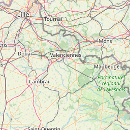
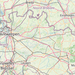
| Continue onto Autoroute de Wallonie (E42) | 10 km |
| Keep right onto Autoroute de Wallonie (E42) | 45 km |
| Take the ramp towards R5 | 150 m |
| Keep right towards R5 | 600 m |
| Continue onto R5 | 2.5 km |
| Take the ramp towards N544: Cuesmes | 600 m |
| Enter the traffic circle and take the 1st exit onto Axiale Boraine (N550) | 30 m |
| Exit the traffic circle onto Axiale Boraine (N550) | 1 km |
| Take the ramp | 300 m |
| Turn left onto Avenue du Champ de Bataille | 600 m |
| Continue onto Rue du Grand Trait - Avenue du Champ de Bataille | 200 m |
| Turn left onto Rue de Quaregnon | 500 m |
| Continue onto Rue de Quaregon | 100 m |
| Continue onto Rue des Dames | 250 m |
| Turn right onto Rue des Soeurs de la Providence | 100 m |
| Continue onto Rue Joseph Bidez | 200 m |
| Turn right onto Rue Germain Hallez | 200 m |
| You have arrived at your destination, on the left | 0 m |